

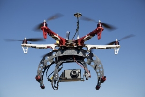
 There are a wide range of uses for aerial mapping, and aerial photography can tell you a variety of things about a piece of land that you would otherwise never learn. But just what type of businesses benefit most from aerial mapping, and how can they use this service to their advantage? We’re here to go over the basics!
It should come as no surprise that aerial mapping is useful for just about any kind of construction site. No matter what building project you are involved in, being able to see an aerial view of the land can make the entire job easier. Not only will aerial photography give you a different perspective of the land you’re building on, it’s also a great way to document the progress of the job. If your client wants to see how a building is coming along, there’s no better way to show them than to provide some aerial photographs of the site.
Marketers are also interested in aerial photography because an overhead view can create some striking images. These types of photographs are rare, so when people see a building or a site from an overhead perspective, it should really stand out to them.
Aerial photography is also useful for real estate companies. Often, clients want to see a home from every angle, and this is especially true if the property is expansive. Providing a potential buyer with an overhead shot of the entire area could really turn them on to a property they may have otherwise ignored.
There are many other uses and benefits of aerial photography, and we’re always happy to provide you with more information. Contact us today if you have any questions!