New York Land Surveying
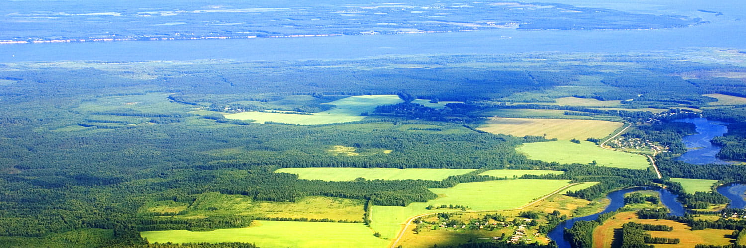
Located and serving New York as well as serving the aerial mapping needs of the northeastern states, we are a privately owned land surveying professional company providing land surveying services since 1946. With a reputation for providing quality professional land surveying and aerial mapping services, we will work with you to develop a strategy to meet your surveying and mapping requirements.
With offices in Theresa and Boonville, NY, our extensive survey records enable us to better serve our clients in Jefferson, St. Lawrence, Lewis, Oneida, Oswego, Herkimer, and Madison Counties.
With a professional and technical staff of 20 people, LaFave, White & McGivern LS PC can provide you with quality land surveying services in New York as well as aerial mapping services in NY, CT, NJ, MA, MD, NH, VT and ME. Our mission is to analyze each project and design a technical, teamwork and management approach. With this approach, it will ensure quality, schedule and cost for your projects. We never leave a job unfinished or our clients unsatisfied about the services provided to them.
Our New York professional land surveyors can provide you with surveying services that extend to the following, second order GPS geodetic control surveys, boundary and right of way surveys, ALTA surveys, topographic, utility and other special surveys that might be required by our clients.
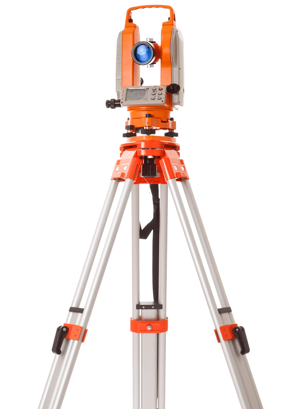
The knowledge and skills of our land surveying and aerial mapping staff at LaFave, White & McGivern LS PC come with the following advantages: OSHA certified staff, state of the art electric survey equipment, computer hardware and software for digital computation and drafting, and, a staff including six land surveyors licensed to practice in New York.
Please feel free to browse our website and take a look at our projects page to see a sampling of our clients and projects we have been a part of. With many years of experience and dedication to our profession, you will be satisfied if you select our firm for your aerial mapping needs and our professional surveying services.
We look forward to working with you to develop an approach that fits your specific project needs.
Land Surveying
OSHA Certified StaffReady to call a land surveyor?
Latest From The Blog
Surveying the George Washington National Forest
So far, we’ve utilized this blog as a sort of [...]
Land Surveys for Title Transfers
Land surveying can be useful for a wide variety of [...]
Types of Businesses That Can Benefit from Aerial Mapping
There are a wide range of uses for aerial mapping, [...]


